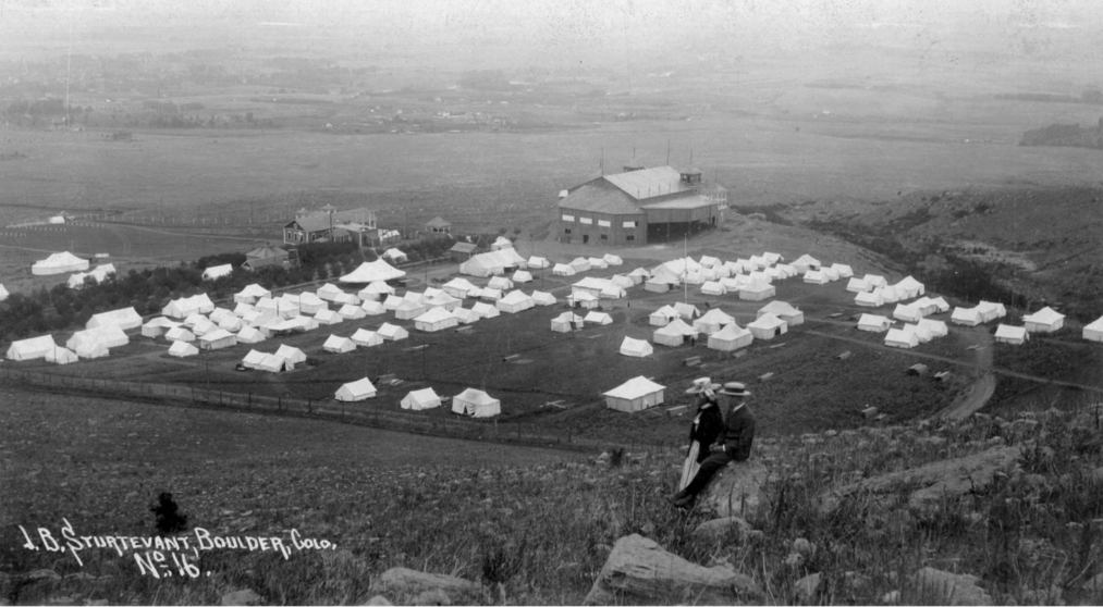
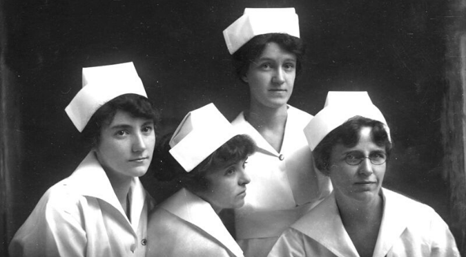
Have you ever walked down the street in Boulder and wondered what this very spot looked like centuries ago? Thanks to our friends at the Museum of Boulder and the Carnegie Library for Local History, we’re able to share views from familiar roads and hikes around Boulder as far back as the 1800s.
Check out these fun side-by-side views of Boulder now and then. While buildings change, trees grow and time marches forward, you can still see similarities.
55th Street
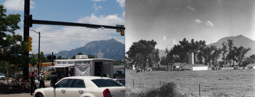
55th Street near Arapahoe Ave. has a much different feel now than in the 1970s, when the photo on the right was taken of a farm on 55th Street, formerly Valley View Road.
1515 Pearl Street
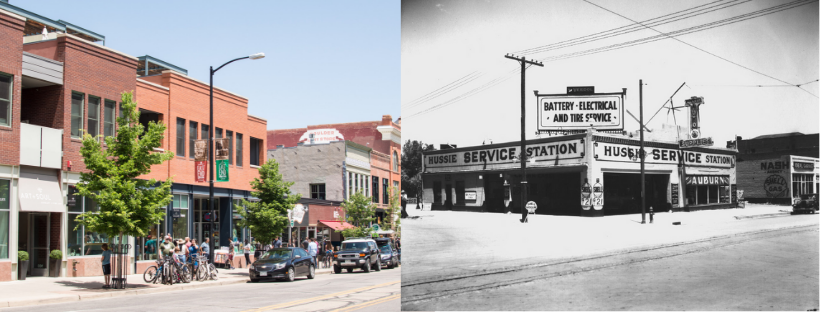
In 1920, Pearl Street didn’t look like the tourist destination of today. The Hussie Service Station had a large lot at 1515 Pearl Street with The Ideal Garage just to its right.
Arapahoe Avenue
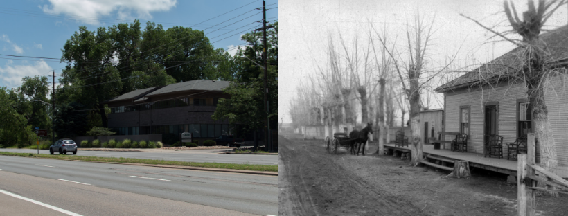
In 1898, there wasn’t much on the 5600 block of Arapahoe Avenue other than Jackson’s Resort. The resort was owned and operated by O.T. Jackson from 1898 to 1910.
Folsom Street (Formerly 24th Street)
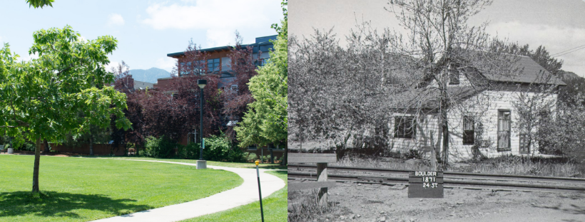
This assessor’s card photo taken in 1948 on the right shows 1871 24th Street before it was changed to Folsom Street. Folsom Field and Folsom Street are both named after University of Colorado Coach Frederick Folsom.
Columbia Cemetery
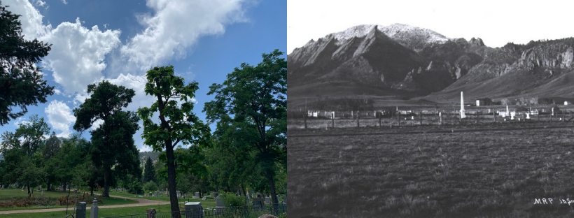
The view of Columbia Cemetery on 9th Street has changed a lot since 1887 when the photo on the right was taken. Columbia Cemetery is the final resting place of many Boulder settlers and other notable people including Mary Rippon. Rippon was the first woman to teach at a state university, as well as the first female professor at the University of Colorado.
Panorama Point
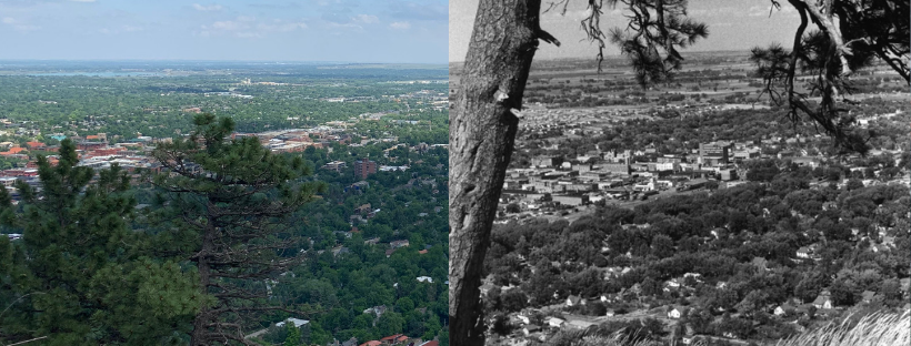
Panorama Point on Flagstaff Mountain is a popular tourist spot and a view that has changed greatly over the decades. The image on the right is a view of central Boulder between 1956 and 1961.
What places would you like to see featured in the next installment of Boulder Now & Then? For more images and history on Boulder’s past, please visit The Museum of Boulder.
